• eyetracking@ethz.ch
  • +41 44 633 71 59

Category Archives: IGAMaps

  • -

PhD graduation Fabian Göbel

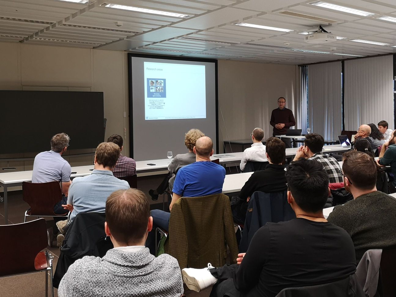
Fabian Göbel has successfully completed his doctoral thesis on “Visual Attentive User Interfaces for Feature-Rich Environments”. The doctoral graduation has been approved by the Department conference in their last meeting. Congratulations, Fabian!

After his thesis defense, Fabian has started a research internship at Microsoft on the topic of interaction with HoloLens 2. We wish him all the best and thank him for all the contributions he has made to our research!


  • -

Full Paper presentation at ETRA 2021

Our accepted paper “Gaze-Adaptive Lenses for Feature-Rich Information Spaces” will be presented at ACM ETRA 2021:

May 25.2021 at 11:00 – 12:00 and 18:00 – 19:00 in “Posters & Demos & Videos”
May 26.2021 at 14:4516.15 in Track 1: “Full Papers V”

Join the virtual conference for a chat!
https://etra.acm.org/2021/schedule.html


  • -

Visit by the Vice President for Research and Corporate Relations

On 11 September, Prof. Dr. Detlef Günther, the Vice President for Research and Corporate Relations of ETH Zurich, has visited the D-BAUG department and informed himself about the exciting research activities of the different institutes.

Our institute was represented by Peter Kiefer, who summarized the research of the GeoGazeLab. The slides provide an overview on our research interests and current projects.

Edit. The presentation includes the PEGGASUS project. This project has received funding from the Clean Sky 2 Joint Undertaking under the European Union’s Horizon 2020 research and innovation program under grant agreement No. 821461


  • -

ET4S and ETRA 2019: Impressions

Our group has organized the “Eye Tracking for Spatial Research” event as a track at this year’s ETRA conference in Denver, Colorado. It featured four full paper presentations, one short paper presentation, as well as an invited talk (see program). A dominant topic at this year’s ET4S was augmented/mixed/virtual reality. As a particular highlight, our invited speaker Sophie Stellmach (Senior Scientist at Microsoft) highlighted the fascinating opportunities of HoloLens 2, an upcoming mixed reality device that will have eye tracking capabilities included.

The GeoGazeLab was further involved with Fabian’s talk on “POI-Track: Improving Map-Based Planning with Implicit POI Tracking” and Kuno presenting his work on “Space-Time Volume Visualization of Gaze and Stimulus” in the ETRA main program. A paper co-authored by Martin was presented by one of his co-authors (“Eye Tracking Support for Visual Analytics Systems: Foundations, Current Applications, and Research Challenges”).


The invited talk by Sophie Stellmach (Microsoft) …


… attracted quite some audience.


Testing HoloLens 2 after ET4S.


  • -

Meet us at CHI 2019

We’ll present one full paper and two workshop position papers at CHI in Glasgow this year:

Workshop: Designing for Outdoor Play (4th May, Saturday – 08:00 – 14:00, Room: Alsh 1)

Kiefer, P.(2019) Gaze-guided narratives for location-based games. In CHI 2019 Workshop on “Designing for Outdoor Play”, Glasgow, U.K., DOI: https://doi.org/10.3929/ethz-b-000337913

Workshop: Challenges Using Head-Mounted Displays in Shared and Social Spaces (5th May, Sunday – 08:00 – 14:00, Room: Alsh 2)

Göbel, F., Kwok, T.C.K., and Rudi, D.(2019) Look There! Be Social and Share. In CHI 2019 Workshop on “Challenges Using Head-Mounted Displays in Shared and Social Spaces”, Glasgow, U.K., DOI: https://doi.org/10.3929/ethz-b-000331280

Paper Session: Audio Experiences(8th May, Wednesday – 14:00 – 15:20, Room: Alsh 1)

Kwok, T.C.K., Kiefer, P., Schinazi, V.R., Adams, B., and Raubal, M. (2019) Gaze-Guided Narratives: Adapting Audio Guide Content to Gaze in Virtual and Real Environments. In CHI Conference on Human Factors in Computing Systems Proceedings (CHI 2019), Maz 4-9, Glasgow, U.K. [PDF]

We are looking forward to seeing you in Glasgow!
These researches are part of the LAMETTA or IGAMaps projects.


  • -

ETIZ Meeting March 2019 – Impressions

More than 30 participants attended the meeting of the Eye Tracking Interest Group Zurich (ETIZ) hosted by us on 26 March 2019. Our invited speaker Andreas Bulling (University of Stuttgart) provided insights into his current and past research on pervasive eye tracking. Tiffany Kwok (GeoGazeLab, LAMETTA project) presented her PhD research on gaze-guided narratives. In an interactive mini-workshop, moderated by Arzu Çöltekin (FHNW), attendees brainstormed about challenges of eye tracking in VR and AR displays. Discussions were continued during an apéro, and many took the opportunity to try out a gaze-adaptive map demo (Fabian Göbel, GeoGazeLab, IGAMaps project).


  • -

FeaturEyeTrack: automatic matching of eye tracking data with map features on interactive maps

An article titled “FeaturEyeTrack: automatic matching of eye tracking data with map features on interactive maps” will appear in one of the next issues of the Geoinformatica journal. It is now available online:

FeaturEyeTrack: automatic matching of eye tracking data with map features on interactive maps

Abstract Map reading is a visual task that can strongly vary between individuals and maps of different characteristics. Aspects such as where, when, how long, and in which sequence information on a map is looked at can reveal valuable insights for both the map design process and to better understand cognitive processes of the map user. Contrary to static maps, for which many eye tracking studies are reported in the literature, established methods for tracking and analyzing visual attention on interactive maps are yet missing. In this paper, we present a framework called FeaturEyeTrack that allows to automatically log the cartographic features that have been inspected as well as the mouse input during the interaction with digital interactive maps. In particular, the novelty of FeaturEyeTrack lies in matching of gaze with the vector model of the current map visualization, therefore enabling a very detailed analysis without the requirement for manual annotation. Furthermore, we demonstrate the benefits of this approach in terms of manual work, level of detail and validity compared to state-of-the-art methods through a case study on an interactive cartographic web map.


  • -

ETIZ Meeting March 2019

We are going to host the next meeting of the Eye Tracking Interest Group Zurich (ETIZ). Everyone using, or planning to use eye tracking in their research is cordially welcome!

Date, time: 26th March 2019, 17:30
Place: ETH Zurich Hönggerberg, HIL D 53


17:30 – 17:35
Welcome

17:35 – 18:15
“Recent Advances Towards Pervasive Eye Tracking”
Prof. Dr. Andreas Bulling, Professor for Human-Computer Interaction and Cognitive Systems
University of Stuttgart, Germany

18:15 – 18:35
“Gaze-Guided Narratives”
Tiffany C.K. Kwok, Doctoral Student
Geoinformation Engineering, ETH Zurich

18:35 – 18:55
“Eye tracking in VR and AR displays: A mini-workshop”
Dr. Arzu Çöltekin, Assoc. Prof., Principal Investigator
Institute for Interactive Technologies IIT, University of Applied Sciences and Arts Northwestern Switzerland FHNW

18:55 – 19:00
Closing

19:00
Apéro, with demo of a gaze-adaptive interactive map by Fabian Göbel, Geoinformation Engineering


  • -

Short Paper and Workshop Paper accepted at GIScience 2018

We are happily announcing that two of our papers have been accepted at GIScience 2018 and the Workshop on Spatial big data and machine learning in GIScience:

Fabian Göbel, Peter Kiefer, Ioannis Giannopoulos and Martin Raubal. 2018. Gaze Sequences and Map Task Complexity. GIScience 2018, Melbourne, Australia.

Fabian Göbel, Henry Martin. 2018. Unsupervised Clustering of Eye Tracking Data. Spatial big data and machine learning in GIScience, Workshop at GIScience 2018, Melbourne, Australia.

Both works are part of the IGAMaps project.


  • -

Papers accepted at ETRA and ETVIS

We are happy to announce, that two of our papers have been accepted at ETRA and ETVIS.

Fabian Göbel, Peter Kiefer, Ioannis Giannopoulos, Andrew T. Duchowski, and Martin Raubal. 2018. Improving Map Reading with Gaze-Adaptive Legends. In ETRA ’18: 2018 Symposium on Eye Tracking Research & Applications

David Rudi, Peter Kiefer, and Martin Raubal. 2018. Visualizing Pilot Eye Movements for Flight Instructors. In ETVIS’18: 3rdWorkshop on Eye Tracking and Visualization

These papers are part of the IGAMaps and Awareness in Aviation projects.

Peter Kiefer has further been involved in ETRA as an Area Chair.


  • -

Full Paper accepted at CHI 2018

Andrew T. Duchowski, Krzysztof Krejtz, Izabela Krejtz, Cezary Biele, Anna Niedzielska, Peter Kiefer, Ioannis Giannopoulos, and Martin Raubal (2018). The Index of Pupillary Activity: Measuring Cognitive Load vis-à-vis Task Difficulty with Pupil Oscillation In Proceedings of the ACM CHI Conference on Human Factors in Computing Systems (CHI 2018), ACM (accepted)


  • -

Student Project Finished: A Public Gaze-Controlled Campus Map

Four Geomatics Master students have developed a public gaze-controlled campus map in the context of an interdisciplinary project work this autumn semester (Nikolaos Bakogiannis, Katharina Henggeler, Roswita Tschümperlin and Yang Xu).

The system prototype has been tested in a one week field study performed at the Campus Info Point at ETH Hönggerberg with 50 campus visitors.

The results of the thesis will be presented at a public event on Thursday 14 December, 2017 between 17:00 – 18:00 at HIL D 53. During the apéro afterwards, you are welcome to try the system yourself.

We’d like to thank the visitor and information management of ETH Zurich Services (in particular Stephanie Braunwalder) for supporting this project


  • -

3rd ET4S Workshop: Keynote by Roman Bednarik

We are glad to announce that the ET4S workshop 2018 will be opened with a keynote given by Roman Bednarik, an adjunct professor at the School of Computing, University of Eastern Finland:


Predicting user states from gaze and other multimodal data

Abstract: In this talk I will present research conducted by our team at UEF related to user state recognition during problem solving and other interactive contexts. We adapt and apply machine learning techniques to model behavioral and mental states, including action prediction and problem-solving state prediction.


  • -

Short Paper accepted at AGILE conference

Fabian Göbel, Peter Kiefer and Martin Raubal (2017). FeaturEyeTrack: A Vector Tile-Based Eye Tracking Framework for Interactive Maps In Proceedings of the 20th International Conference on Geographic Information Science (AGILE 2017), Wageningen, The Netherlands. (accepted)


  • -

Special Issue Appearing: Spatial Cognition&Computation 17 (1-2)

A double Special Issue on “Eye Tracking for Spatial Research” in Spatial Cognition&Computation, guest-edited by Peter, Ioannis, Martin, and Andrew Duchowski, has appeared [URL].

Nineteen manuscripts were submitted to an open Call for Submissions, out of which seven were finally accepted after a rigorous review process.

The Special Issue commences with an overview article, authored by the Guest Editors: “Eye tracking for spatial research: Cognition, computation, challenges” [URL, PDF].


  • -

Controllability matters: The user experience of adaptive maps

An article titled “Controllability matters: The user experience of adaptive maps” will appear in one of the next issues of the Geoinformatica journal. It is now available online:

Controllability matters: The user experience of adaptive maps

Abstract Adaptive map interfaces have the potential of increasing usability by providing more task dependent and personalized support. It is unclear, however, how map adaptation must be designed to avoid a loss of control, transparency, and predictability. This article investigates the user experience of adaptive map interfaces in the context of gaze-based activity recognition. In a Wizard of Oz experiment we study two adaptive map interfaces differing in the degree of controllability and compare them to a non-adaptive map interface. Adaptive interfaces were found to cause higher user experience and lower perceived cognitive workload than the non-adaptive interface. Among the adaptive interfaces, users clearly preferred the condition with higher controllability. Results from structured interviews reveal that participants dislike being interrupted in their spatial cognitive processes by a sudden adaptation of the map content. Our results suggest that adaptive map interfaces should provide their users with control at what time an adaptation will be performed.


  • -

GeoGazeLab at the Smarttention Workshop

GeoGazeLab was represented at the Smarttention Workshop at MobileHCI to raise awareness for visual attention in adaptive interfaces.

Thanks to the organizers for their great work. We had inspiring discussions about the future of mobile UIs.whatsapp-image-2016-09-10-at-11-47-57


  • -

  • -

GeoGazeLab at GEOSummit 2016

This year at GEOSummit, our group displayed a gaze-based Geo-Game. During the GEOSchool Day, pupils and adults could experience how it feels to control maps just by using their gaze.
– We had great fun changing the world in the blink of an eye.

DSC00916_2


  • -

Fabian Göbel joins the team

Fabian Göbel has started as a PhD student in the IGAMaps project (Intention-Aware Gaze-Based Assistance on Maps).

Great to have you on board, Fabian!

[Current Team]


  • -

Open PhD position

We are looking for a PhD candidate (IGAMaps project).

More details and application on the ETH website, and as PDF.


  • -

New SNSF Project: IGAMaps

Exciting research project to be started soon!

Our project proposal on “Intention-Aware Gaze-Based Assistance on Maps” (IGAMaps) has been approved by the Swiss National Science Foundation (PI: Peter Kiefer, Co-PI: Martin Raubal, 1 PhD for 3 yrs).

The project envisions intention-aware gaze-based assistance on cartographic maps. A future intention-aware gaze-based assistive map could, for instance, recognize from the user’s gaze that he or she is planning a touristic round trip, and adapt to the user’s needs accordingly. The main objective of this project consists in the investigation of methods for the recognition of activities and intentions from gaze data, collected from cartographic map users.

scanpathonmap